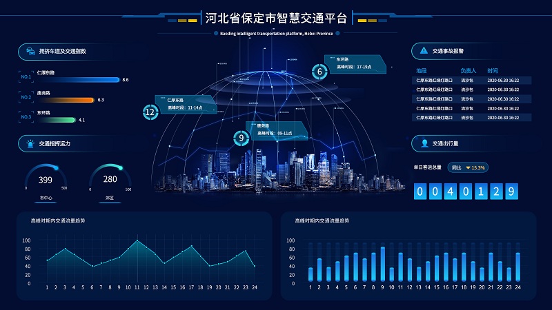
The i-stonbel operating software realizes real-time high-resolution Gis maps, city maps, and 3D images, which can quickly show the full picture of the electronic map and realize the functions of dragging, zooming in and zooming out on the image, and can specify on the super high-resolution map Edit the location, formulate contingency plans for emergencies, add surveillance videos, pictures, etc. of the corresponding location through various multimedia materials on the background of the electronic map to truly show the on-site environment, and you can call and view the content of the designated location at any time. ; The ultra-high-definition visual interaction platform needs to have its own writing and annotation functions, which can store and display the current document together with the current application interface image. ┅


